
Elevation Certificates For North Carolina
You may need an elevation certificate and if you do then you can rely on Charlotte Land Surveyor to provide it to you. It provides important information about elevation, which is needed to comply with ordinances related to floodplain management. This helps to determine the right insurance premium rate, and usually includes the Letter of Map Amendment application or Letter of Map Revision. We realize that most of this may be a bit above your head but we are happy to consult with you about obtaining an elevation certificate. Our process is effective and accurate, which is why we are relied upon more often than other land surveyors in the Charlotte area.
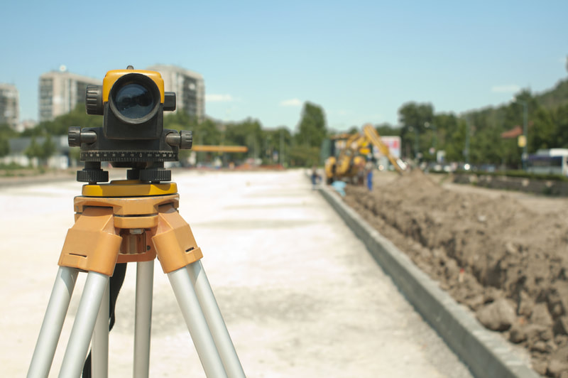
What is an Elevation Certificate
The elevation certificate is a document that is prepared by a surveyor who is properly trained and licensed. It includes detailed information that can help to determine whether a property is above or below the flood elevation. An engineer can also prepare your elevation certificate. This information helps to effectively rate flood-prone properties and determine the type of flood insurance that is needed. If you have a property that is in a flood zone, this certificate will be very important for you to have.
Why Buy an Elevation Certificate
Without an elevation certificate, you wouldn’t be eligible for federal assistance of any type if flooding were to occur that affects our property. The elevation certificate is used by FEMA as a means of certifying that the building elevation of a structure is situated inside a flood-prone area. The flood elevation certificate is also useful when rating post-FIRM (Flood Insurance Rate Maps) structures. FIRMS are produced by FEMA and identify zones prone to flooding. They are often utilized by the National Flood Insurance Program to decide the right type of flood insurance rates for that region. An elevation certificate is not needed for the pre-FIRM structures. You may also need a flood elevation certificate if your flood insurance premiums are too high and you wish to lower them. Your premiums can be lowered based on what is included in the elevation certificate. The property’s elevation and the base flood elevation level will determine the premium rate you will be required to pay.
The Application
Our licensed land surveyor will fill out the elevation certificate form. If there is a dispute, an elevation certificate will be attached along with any additional documents provided by FEMA. We handle the entire process from start to finish at Charlotte Land Surveyor.
Why Hire Our Land Survey Company
We have the proper credentials to carry out the job of providing you with an elevation certificate. You’ll receive a professional, reliable, and compliant elevation certificate. We understand the importance of an elevation certificate and will make sure everything that should be included in your certificate is included. The insurer will have all the necessary information needed to ensure your property.
Our surveyor will do the following:
- Help throughout the entire process of filing the application
- Fill out state elevation certificate forms
- Use the latest methods to collect as much elevation information as possible
